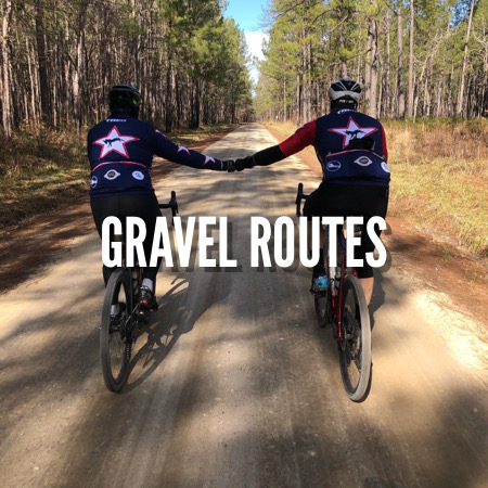
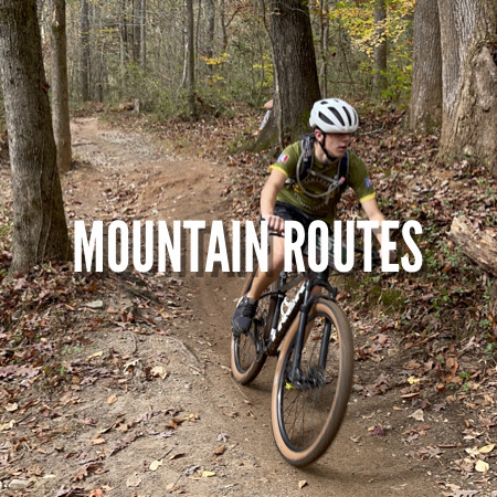
Regional Cycling Routes and Trails
 | NAME | Saluda Roubaix |
WHERE | Saluda County, SC | |
TRAVEL TIME | 2 hours (approx. - from Charleston) | |
LENGTH | 43 miles | |
TRAIL MAP | ||
NOTES | Rural gravel. Mix of pavement and gravel | |
OTHER | Limited food options close by but plenty of options as you get closer to Lexington - bring what you need for the day if you don't want to travel to get food | |
PRO TIP |
 | NAME | FATS - Forks Area Trail System |
WHERE | Clarks Hill, SC (Near Augusta, GA) | |
TRAVEL TIME | 3 hours (approx. - from Charleston) | |
TRAIL LENGTH | 35 miles | |
TRAIL MAP | ||
NOTES | Fun, fast, flowy single track with moderate climbing. | |
OTHER | Limited food options - bring what you need for the day. Trails close when it rains. | |
PRO TIP | Check out the local BBQ at Patriot Smokehouse |
| NAME | Poinsett State Park |
WHERE | Wedgewood, SC | |
TRAVEL TIME | 1.5 hours (approx. - from Charleston) | |
TRAIL LENGTH | Approximately 13 miles of trails | |
TRAIL MAP | Poinsett Trail Map (pdf) | |
NOTES | Fun, fast, flowy single track with moderate climbing. | |
OTHER | Limited food options - bring what you need for the day. Trails rarely close. | |
PRO TIP | Admission fee to the park - $3 per adult, $1 per child |
| NAME | DuPont State Forest |
WHERE | Brevard, NC | |
TRAVEL TIME | 4 hours (approx. - from Charleston) | |
TRAIL LENGTH | ||
TRAIL MAP | ||
NOTES | Fun, fast, flowy single track with a lot of climbing. | |
OTHER | E-bikes are prohibited. Lot's of great climbing | |
PRO TIP | Make sure you ride Ridgeline trail - it's amazing. |